Why 'California Flooding' Is Trending: Polo's Moisture Hits the Desert, Then Heads to Texas
Searches for California flooding follow Hurricane Polo's remnants, which stranded vehicles in the state's desert areas before the main flood threat moved toward Texas and the Plains.
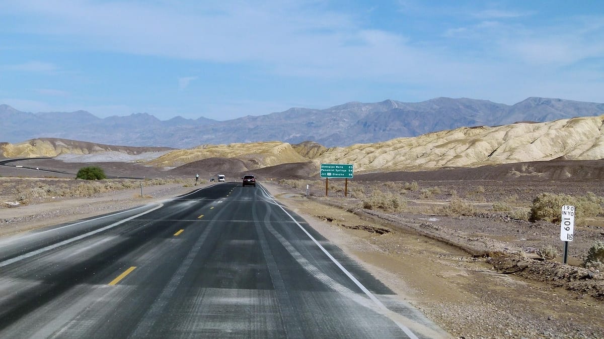
People are searching for "California flooding" after the remnants of Hurricane Polo sent a historic plume of tropical moisture across the Southwest this week. Parts of California were affected, but the forecast now points to bigger flood risks farther east.
Here is what the available reports say, and what they don't.
What happened in California
The Weather Channel reports that vehicles were flooded and stuck in Needles and Indio Hills, California, on Monday. The same report describes similar scenes in Bullhead City, Arizona, and flooding in Laughlin, Nevada.
Separately, a CBS Los Angeles headline says Long Beach was bracing for coastal flooding and high tides linked to Hurricane Polo. The material available does not give details on how high the water was expected to get or whether any flooding followed.
CBS Los Angeles's latest forecast, meanwhile, says it is still warm in Southern California. Temperatures are expected to climb through the week. The sources do not describe widespread flooding across the state's major cities.
The wider Southwest picture
The bigger story is the moisture itself. The Weather Channel says the amount of moisture over southern Arizona, New Mexico and far west Texas is near or slightly above historical records for late September.
Rain totals from Sept. 27 to 29 were between 1 and 3 inches in parts of the Southwest. The highest confirmed total so far was 3.91 inches in Bullhead City, Arizona. Albuquerque had more than 2 inches, close to double its normal September rainfall.
On Tuesday morning, a box truck was swept away by floodwaters north of Phoenix. The driver got out safely. Officials also performed at least one other water rescue in the Phoenix area, and flooding was reported on several washes and on Interstate 10.
Where the threat moves next
The forecast says the flood risk is spreading east and north.
- Wednesday: The risk expands into Texas, Oklahoma and Colorado. Oklahoma City and Omaha are flagged for locally higher risk. Severe storms are possible, including hail, strong winds and an isolated tornado.
- Thursday: The threat stretches from Texas to Michigan. Dallas and the Texas Hill Country face the heaviest rain again.
- Weekend: Polo's remnants get swept up in a cold front moving east. The Southeast is forecast to get days of rain.
Forecasters expect 3 to 5 inches of rain, with higher local amounts, from parts of Texas into Oklahoma. A similar stripe is expected from Kansas into southern Nebraska, northern Missouri, southern Iowa and northern Illinois.
Safety reminders
Rainfall rates of up to 2 inches per hour are possible in places. The Weather Channel advises people to avoid dry washes, slot canyons, burn scars and flooded areas.
The National Weather Service's advice is simple: "Turn around. Don't drown." A flash flood warning means flooding is happening or is expected. A flash flood emergency means the situation is dire, and people in flood-prone spots should head to higher ground.
Conditions are changing quickly, so check your local National Weather Service office for current watches and warnings.
Keep it in Saved stories on this device to read later.